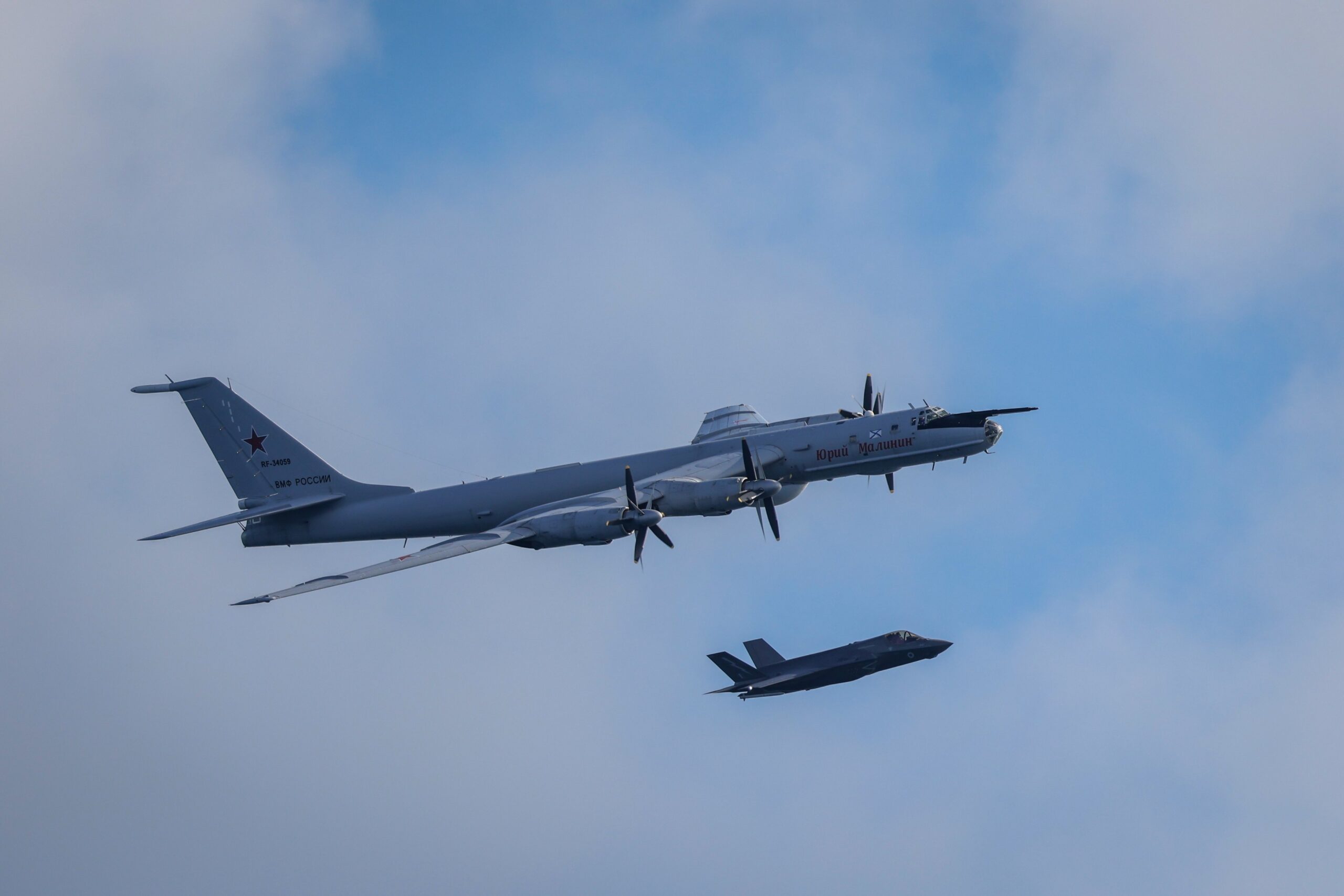

Popular
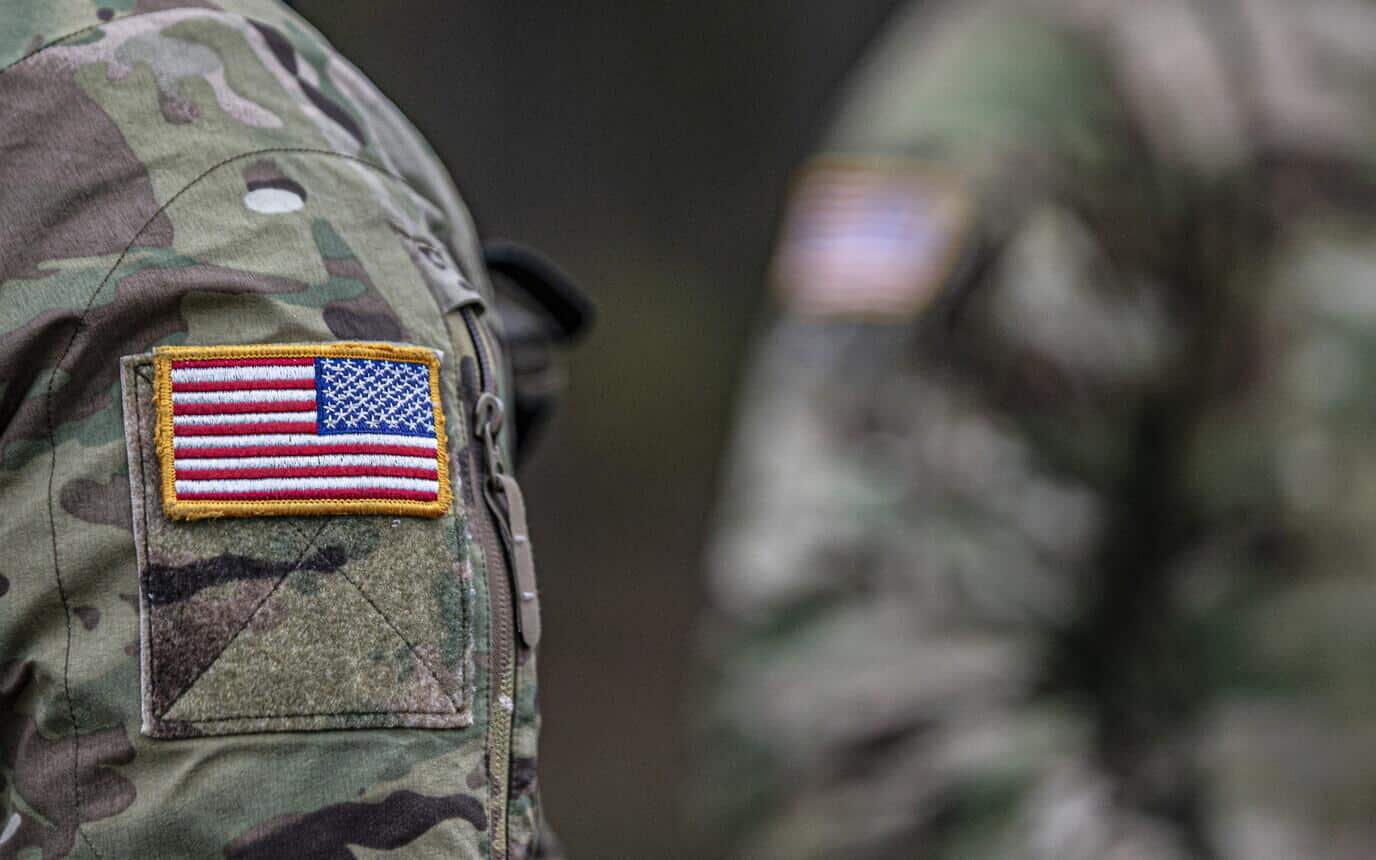
The United States has deployed the Ukrainian Sky Map command platform at Prince Sultan Air Base in Saudi Arabia.
Reuters reported this, citing five sources familiar with the matter.
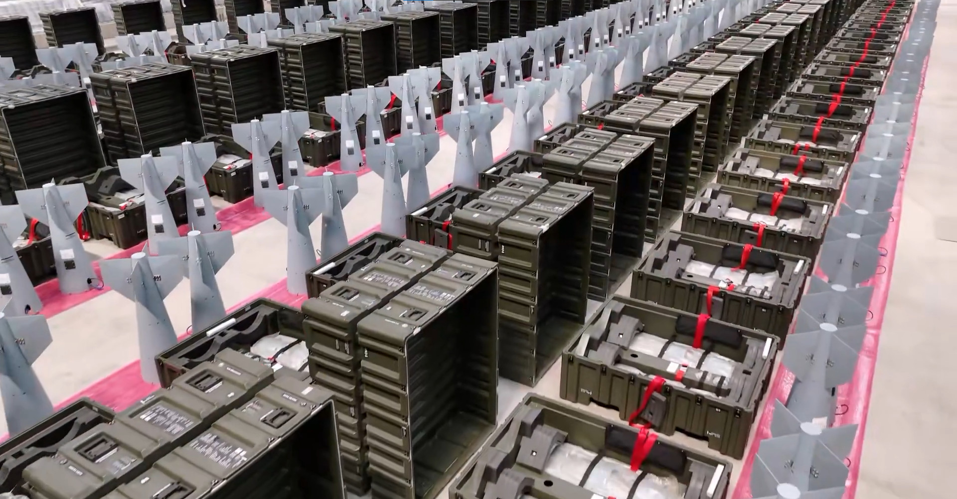
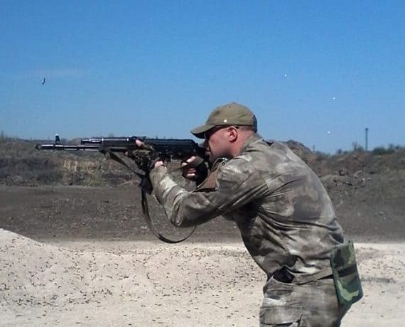
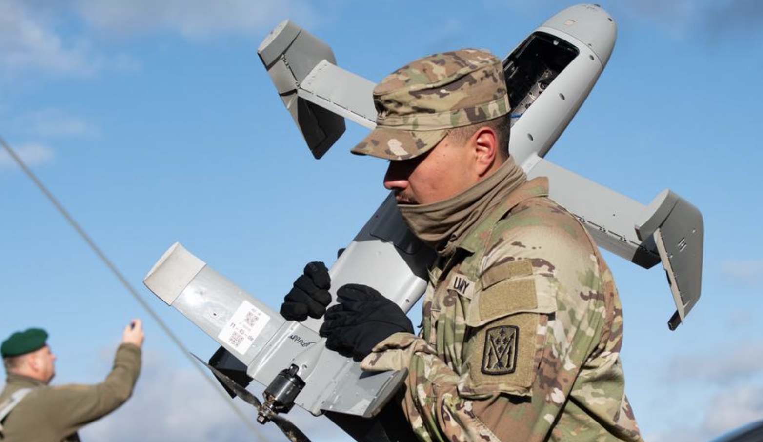
Ukrainian specialists arrived at the base to train U.S. personnel to detect Iranian Shahed drones and coordinate interceptor strikes.
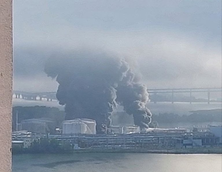
The technology was introduced in recent weeks to protect the facility from drone attacks that previously led to the destruction of aircraft and the death of a serviceman.
The Sky Map was created by Sky Fortress with support from the Brave1 program. The software processes data from radars and a network of more than 10,000 acoustic sensors, allowing the military to track threats through an interactive dashboard with maps and video feeds.
The use of Ukrainian technology began a month after U.S. President Donald Trump publicly rejected Volodymyr Zelensky’s offer to help counter Iranian drones. At the time, the U.S. leader said on Fox News that the country did not need external support in protection against drones.
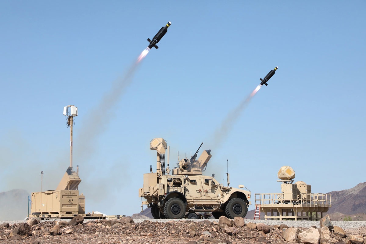
Merops interceptors from Project Eagle and Coyote systems produced by RTX are also being tested at Prince Sultan Air Base. During the tests, experts recorded technical failures, including an incident in which one of the Merops drones crashed onto an outbuilding after losing control.
Підтримати нас можна через:
Приват: 5169 3351 0164 7408 PayPal - [email protected] Стати нашим патроном за лінком ⬇
Subscribe to our newsletter
or on ours Telegram
Thank you!!
You are subscribed to our newsletter