





Popular
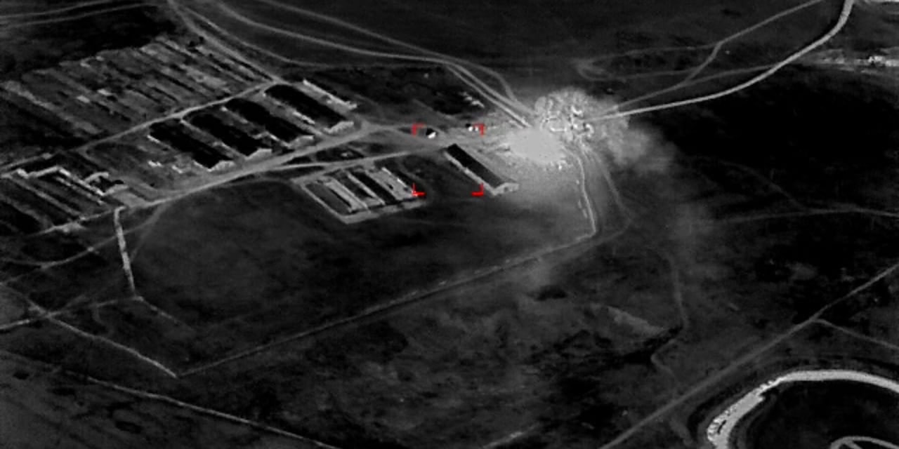
Direct transmission of satellite imagery to Ukrainian soldiers on the front lines reduced the time needed to locate and destroy Russian targets by 90%, creating serious logistical and command challenges for the occupiers.
The new technology was tested by a small unit of the Ukrainian Armed Forces, reports The Wall Street Journal, which also cited one example.
The military detected suspicious signals from electronic devices in a building hidden beneath dense trees, but a standard reconnaissance drone was unable to make out the target due to the spring foliage.
The soldiers then used high-resolution commercial satellite imagery, which was transmitted directly to their mobile devices. The data clearly revealed the metal frames of armored vehicles, and after three days of surveillance, the unit successfully struck the identified occupiers’ command post with a strike drone.
Such operational reconnaissance is provided by satellites from the American company Vantor. Large-scale testing of the technology has been ongoing for the past six months as part of a transatlantic collaboration between the American firms Vantor and Persistent Systems, the Dutch Bravo1Alpha company, and the Ukrainian Bureviy defense enterprise.

The same satellites used to monitor illegal fishing or update Google Maps have found a new effective application in the war.
The use of satellites helps Ukraine save time and money, as the military no longer needs to risk expensive reconnaissance drones, which the Russians often shoot down or jam with electronic warfare (EW) equipment. Thanks to space-based data, the reconnaissance cycle now takes a matter of hours instead of weeks, which were previously lost due to lengthy coordination at headquarters or because of fog and snow.
A striking example of the system’s effectiveness was the spring mission known as Starfall II. During this operation, Ukrainian soldiers of the 422nd Regiment of Unmanned Systems ‘Luftwaffe’ used satellite imagery to locate and destroy a large Russian ammunition depot that the occupiers had set up in a former grain silo.
The military compared recent orbital images with older photographs of the same area, taken before the full-scale invasion. They noticed changes in the infrastructure and fresh tire tracks from military trucks unloading shells, after which they promptly dispatched kamikaze drones to the site.
Vantor satellites transmit images to devices in just 15 minutes, completely bypassing centralized verification in Kyiv. Previously, bureaucratic procedures and disputes between agencies over access to information delayed intelligence data by hours or days, meaning it often reached the front lines already outdated.
A Ukrainian Armed Forces servicemember interacts with Vantor satellite data on a mobile phone. Photo credits: Bravo1Alpha
A constellation of 10 Vantor satellites covers 7 million km² of Earth daily, imaging any point on the planet 12 to 15 times a day. The coordinates of objects in these images are accurate to within 5 meters, which, according to Ukrainian military officials, is sufficient for drone strikes.
Western countries are already adopting Ukraine’s experience. Last year, US Special Operations Command (USSOCOM) added software to transmit commercial imagery to soldiers’ mobile devices. The US Army is also working on creating a high-speed information system that will provide military personnel of all ranks with access to satellite data without lengthy headquarters approvals.
Підтримати нас можна через:
Приват: 5169 3351 0164 7408 PayPal - [email protected] Стати нашим патроном за лінком ⬇
Subscribe to our newsletter
or on ours Telegram
Thank you!!
You are subscribed to our newsletter