
Popular
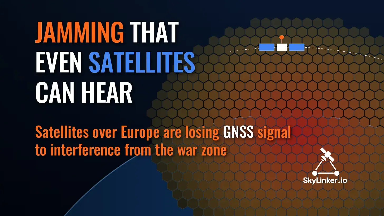
Signal officers at the front don’t need telling that GPS works every other time. That it also “coughs” at 700 kilometres up is news. Researchers at the Technical University of Denmark (DTU) went through five years of data from European and commercial satellites and showed that ground-based interference sources in the area of the Russia–Ukraine war are powerful enough to “deafen” satellite navigation receivers over a region thousands of kilometres across. And since 2024 it has been getting worse.
The full paper (in English) is available here. Here is what matters.
Most modern satellites carry a GNSS receiver — essentially the same as the one in your phone, only far more precise. GNSS (Global Navigation Satellite Systems) is the umbrella term for GPS, Galileo, GLONASS and BeiDou. A satellite in low Earth orbit (LEO, a few hundred kilometres up) receives signals from navigation satellites flying at around 20,000 kilometres and uses them to work out where it is. Without that, you can’t tie an image to the ground or point an antenna.
GNSS signals are very weak — anyone who has watched a drone “lose” its satellites near a jammer knows this. So the question was obvious: can the jammers be heard by those flying over them?
No new satellites were launched. The authors used open data that spacecraft send down anyway: measurements for Precise Orbit Determination (POD) and for Radio Occultation (RO) — when a satellite “looks” through the atmosphere towards the horizon and meteorologists get temperature and humidity profiles. The sample includes Swarm, Sentinel and commercial Spire satellites at altitudes from 400 to 1,336 km, different receivers and all four navigation systems.
The main indicator is C/N0 — essentially “signal-to-noise” for a navigation signal. Interference raises the noise, and C/N0 drops. A drop of more than 3 dB-Hz (the signal weakening roughly by half against the noise) was counted as jamming.
Over Europe and Western Asia there is a persistent “deaf zone”. Almost every spacecraft sees it, regardless of receiver or orbit. The centre of the zone, by the authors’ calculation, lies at roughly 36° E, 51° N — “western Russia and/or eastern Ukraine”, near the border. This is not a direction-finding fix but the geometric centre of the patch.

The dynamics are more interesting still. Faint signs appear as early as 2022, a sharp jump comes in 2024, and by 2025 the zones are clearly visible on the maps. For the Swarm A satellite, the number of “jammed” map cells grew from 530 in 2023 to 1,779 in 2026, and the average number of jammed measurements per cell from 10 to 663. And 2026 in the paper covers only five months. The authors’ conclusion is restrained but telling: there are no signs of stabilisation.

In 2026 a daily rhythm appeared as well: it is worse at night. Why, the authors don’t explain. We won’t guess either.
It sounds incredible, but it’s just geometry. From 700 km up, a satellite sees the Earth’s surface for thousands of kilometres around. So a powerful ground source is “in line of sight” as soon as the satellite rises above that source’s horizon. That is exactly what the edge of the zone looks like: it matches the radio horizon.
The paradox is that directly above the source the interference… weakens. The satellite’s GNSS antenna looks up, and the spacecraft body shields it from below. So those who see the source from the side get it worst. One more touch: the higher the orbit, the wider the patch but the weaker the interference. At 1,336 km the navigation receiver on Sentinel-6 barely notices it. All of this, in the authors’ view, points to a ground source — one, or several in one area.

So how loud is it? It can’t be measured directly, so the authors estimated it from the C/N0 drop and the known antenna pattern of Sentinel-1A. The result is about 383 kW of equivalent isotropically radiated power (EIRP) — what an antenna radiating evenly in all directions would need to emit to produce the same signal towards the satellite. A GPS navigation satellite in the same calculation has about 500 W. The authors honestly warn that this is an order of magnitude, not a transmitter’s spec sheet. So a headline about a “383 kW jammer” is neither on them nor on us. How big numbers turn into media myths, we covered in “20 gigawatts of lies”.
The interference is wideband: it hits GPS, Galileo, GLONASS and BeiDou at once. But spacecraft suffer differently, and there are three “risk groups”.
Those looking at the horizon. RO antennas point towards the horizon — exactly where the interference comes from. On Sentinel-6 the upward-looking receiver was barely affected, but the RO antennas were. Spire has a large hole in its RO data over Europe: successful measurements there are only 19–37% of what they are at the same latitudes elsewhere.
Older receivers. The signal drops most on the GPS P(Y) codes — the encrypted military signal that civil receivers can “eavesdrop” on without the key. This legacy of the days before the civil L2C signal turned out to be the most vulnerable: older-generation receivers are most at risk of losing dual-frequency measurements.
Those who need centimetres. The most precise method, Precise Point Positioning (PPP), works with the carrier phase, and its count must not break. Inside the zone, phase cycle slips on Sentinel-1A happen ten times more often than in the control area, and in five months of 2026 there were more of them than in all of 2025. Orbits and the accuracy of Earth observation products depend on those centimetres.
And Spire receivers inside the zone sometimes see fewer than four navigation satellites — fewer than needed to determine a position.

The paper’s first author, DTU PhD student Kian Bostani Nezhad, has also built an open online map, SAT-JAM. It is updated daily with data from the Copernicus Sentinel satellites. You can choose a satellite and a system (GPS or Galileo) and see how often the receiver recorded interference in each hexagon, about 300 km across.

The authors honestly warn how to read it. A hexagon shows where the satellite was, not where the jammer is: red over Paris doesn’t mean GPS is jammed in Paris. Data arrive with a delay of one to three weeks and are averaged over about six weeks. The map may not catch spoofing. And it is a research product, not a tool for operational decisions.
For a signal officer at the front, this work changes nothing tactically: GNSS is unreliable there anyway. But it offers something rare — an independent measurement of the scale from space. The interference is wideband, hits every system and has been growing since 2024, and the authors advise assuming it may intensify or change as the war goes on. The conclusion is the one we have repeated since our first piece on PNT: GNSS alone is not enough. What’s needed is resilient PNT and alternatives, including navigation from LEO.
For the Ukrainian space industry the conclusion is even more concrete. The authors advise treating GNSS interference as part of mission design and risk assessment — a standard condition, not force majeure. Any Ukrainian spacecraft in LEO will regularly fly over this zone, so it is worth checking on the ground how its receiver will cope with the “deaf zone”.
And looking ahead: routine satellite data have turned out to be a ready-made interference monitoring network — borderless, with no new launches. It pairs nicely with the ground-based approach, where smartphones, cars and drones map the “hot spots” themselves, which we wrote about in “Collective immunity against GNSS spoofing”. Orbit gives the scale, the ground gives the detail.
To be honest about the limits: the paper does not establish who is transmitting or why — the source is identified only as the centre of the zone. Whether this is a side effect of the war or a deliberate attempt to disrupt satellites, the authors state plainly that it is unknown.
Підтримати нас можна через:
Приват: 5169 3351 0164 7408 PayPal - [email protected] Стати нашим патроном за лінком ⬇
Subscribe to our newsletter
or on ours Telegram
Thank you!!
You are subscribed to our newsletter