





Popular
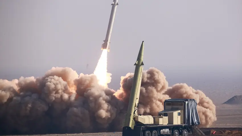
Chinese satellites are providing Iran with intelligence data and imagery, which has significantly increased the accuracy of Iranian attacks on U.S. military facilities and civilian vessels in the Middle East.
This was reported by CNN, citing U.S. intelligence assessments and sources within the U.S. government.
According to intelligence reports, it was Chinese intelligence that enabled Iran to launch a precision strike on a U.S. base in Jordan in July, killing three U.S. service members.
In addition, Chinese satellite data helps Iranian forces track the movement of ships in the Strait of Hormuz and effectively deploy drones during large-scale attacks.
U.S. officials note that, in addition to Chinese support, the accuracy of Iranian weapons has improved thanks to Russian assistance and accumulated combat experience.

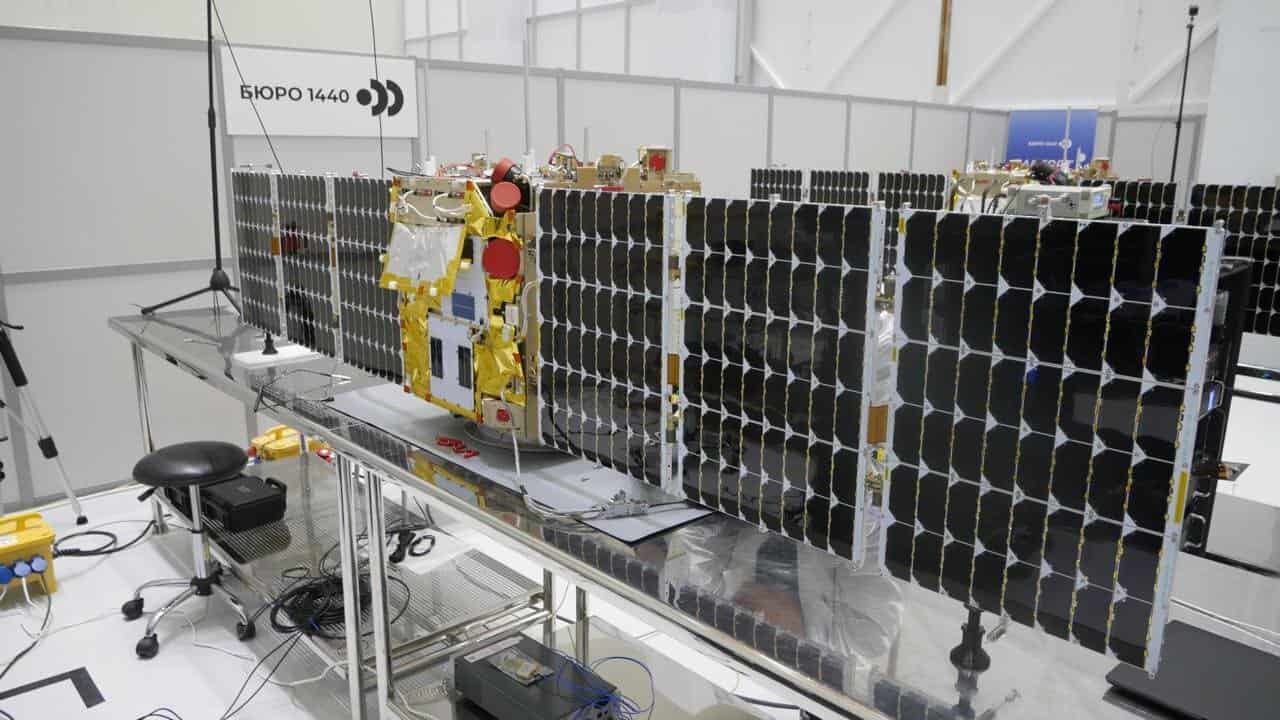
It is worth recalling that Russian reconnaissance satellites may also have provided Iran with data for precision strikes on U.S. targets in the Middle East, including an air base in Saudi Arabia.
Two days before the Iranian attack, 14 Russian reconnaissance satellites, including the Kosmos-2573, flew over the Prince Sultan Air Base near Riyadh.
Підтримати нас можна через:
Приват: 5169 3351 0164 7408 PayPal - [email protected] Стати нашим патроном за лінком ⬇
Subscribe to our newsletter
or on ours Telegram
Thank you!!
You are subscribed to our newsletter