

Popular
Finnish satellite company ICEYE has announced a new partnership with the NATO Headquarters Situation Centre (SITCEN) to provide satellite imagery for Earth observation.
According to the company’s press release, this marks ICEYE’s first collaboration with NATO headquarters and will expand the alliance’s access to high-resolution synthetic aperture radar (SAR) imagery.
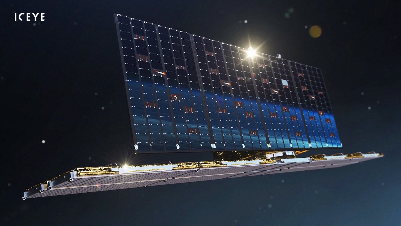
ICEYE operates the world’s largest constellation of SAR satellites, consisting of 48 units.
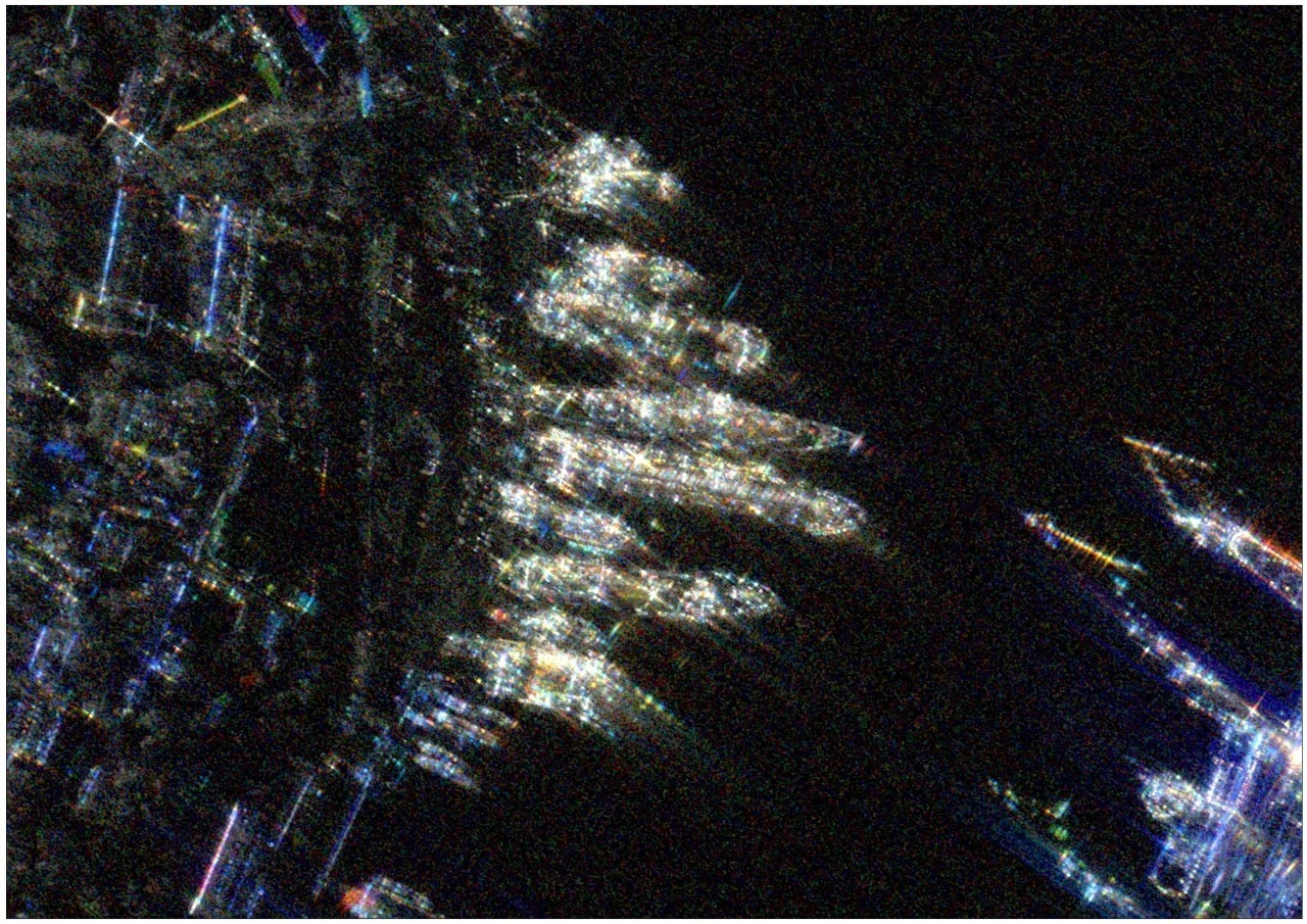
ICEYE’s satellites use SAR, which enables high-resolution imaging regardless of weather conditions or time of day.
Unlike optical satellites, which rely on visible light and require clear skies, SAR satellites actively emit microwave radar waves, allowing them to penetrate clouds, fog, and rain.
The satellite’s antenna emits radio waves toward the Earth’s surface, capturing the reflections to generate highly detailed imagery.
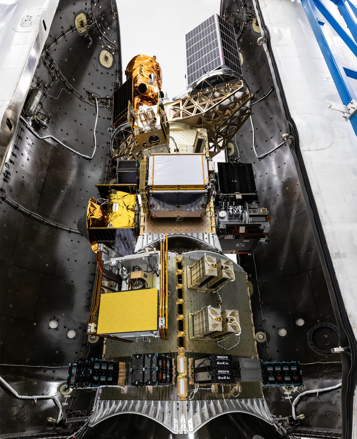
On March 17, 2025, ICEYE successfully launched four additional SAR satellites, including an advanced 4th generation model.
The latest 4th-generation ICEYE satellites feature twice the antenna size of previous models, double the radar transmission power.
This allowed wider imaging coverage—expanded from 150 km to 400 km and 25 cm resolution for enhanced detail.
Images provided by the new satellite have 30% higher data density per image.
Ukraine’s cooperation with ICEYE began in August 2022, when the Serhiy Prytula Charitable Foundation purchased an ICEYE satellite for ₴600 million in donated funds.
The deal also included one year of access to the full ICEYE satellite constellation.
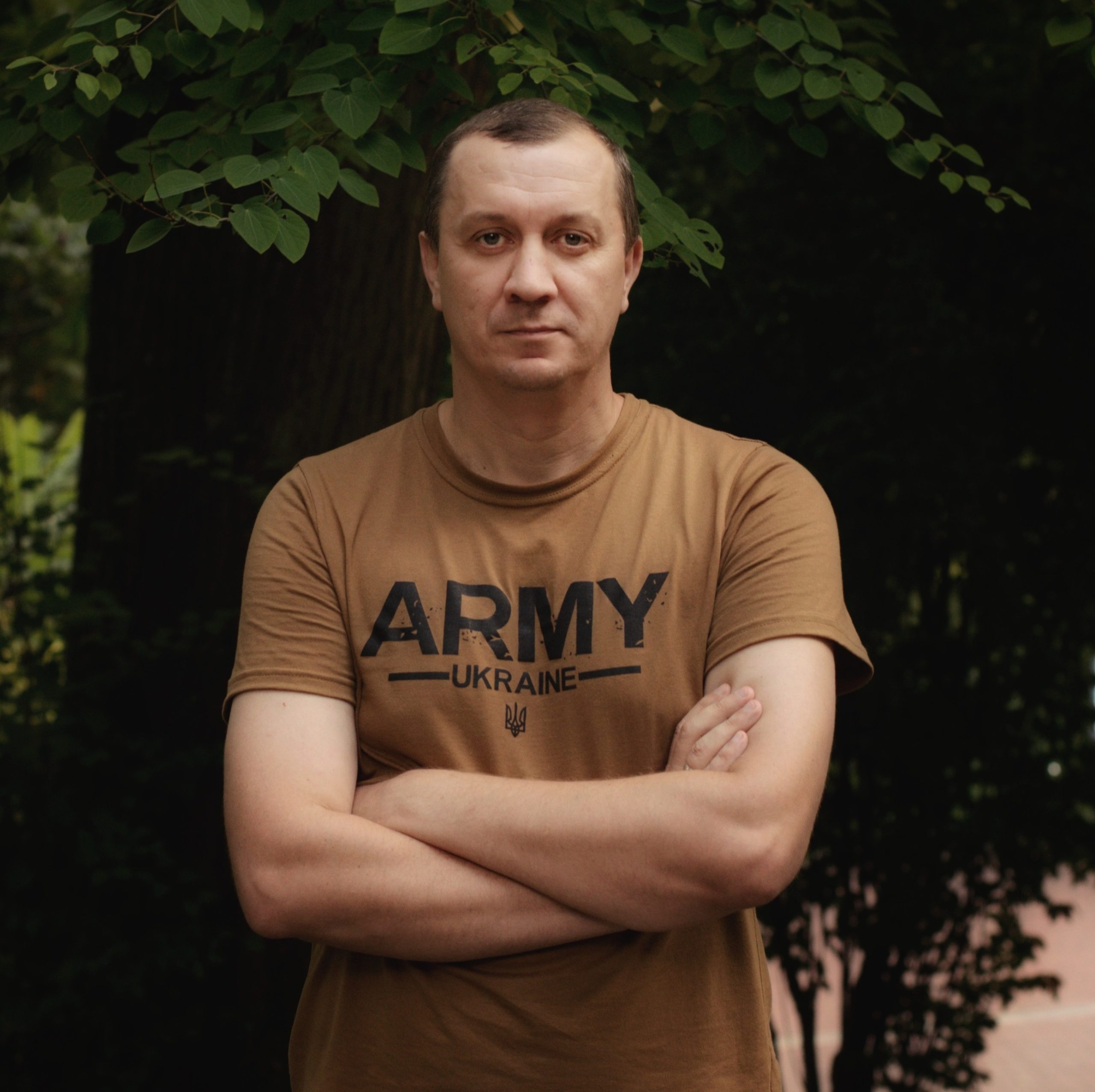
According to Prytula, Ukraine’s own ICEYE satellite provides intelligence data six times faster compared to partner satellites.
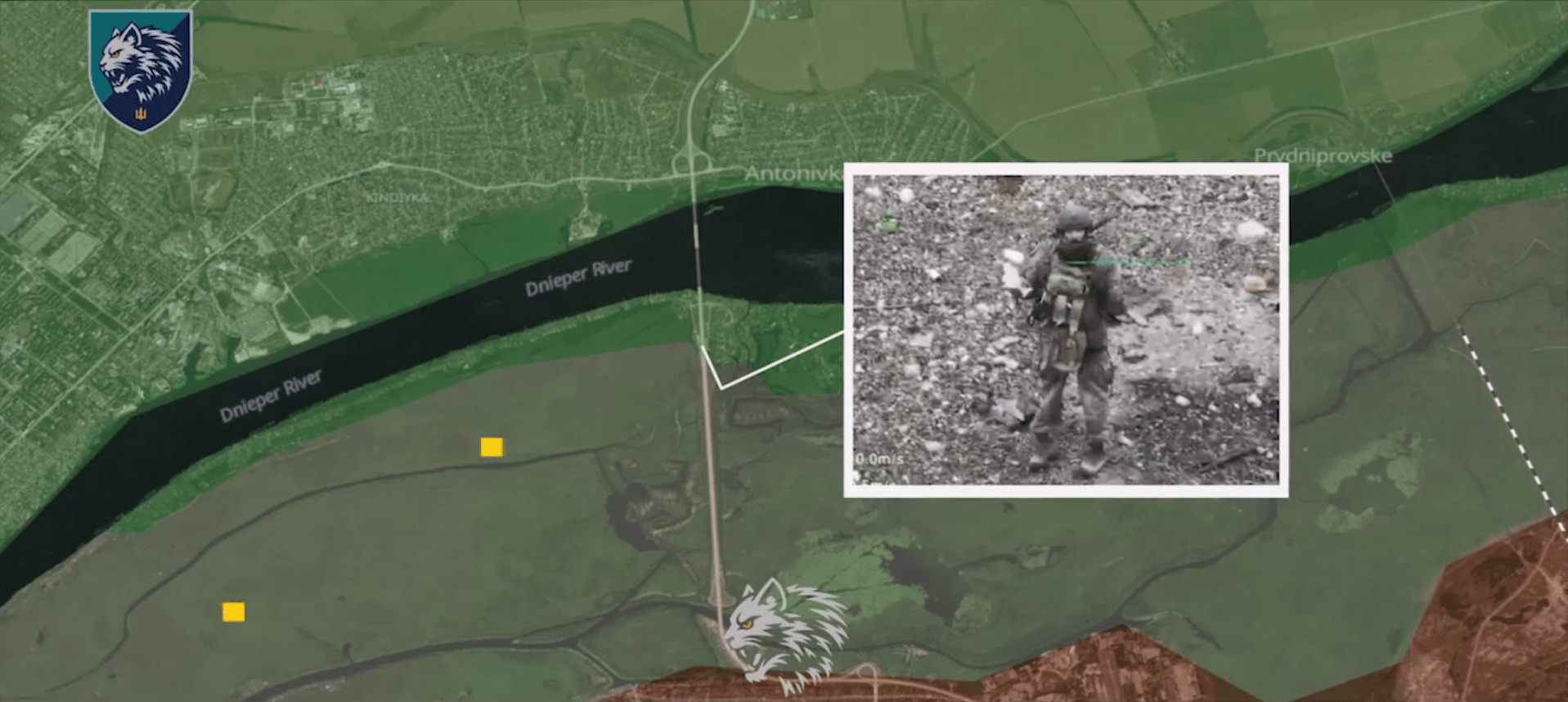
In March 2025, Ukraine’s Main Intelligence Directorate (GUR) reported that ICEYE satellites had captured 5,200 images, including 1,000 in the past six months. GUR spokesman Andriy Yusov stated that over 40% of these images were used for targeting Russian military assets, leading to billions of dollars in enemy losses.
In November 2024, Rheinmetall and Ukraine, with backing from the German government, signed a satellite reconnaissance agreement.
Through this partnership, Ukraine gains access to additional SAR satellite data, further strengthening its intelligence capabilities.
Підтримати нас можна через:
Приват: 5169 3351 0164 7408 PayPal - [email protected] Стати нашим патроном за лінком ⬇
Subscribe to our newsletter
or on ours Telegram
Thank you!!
You are subscribed to our newsletter