






Popular
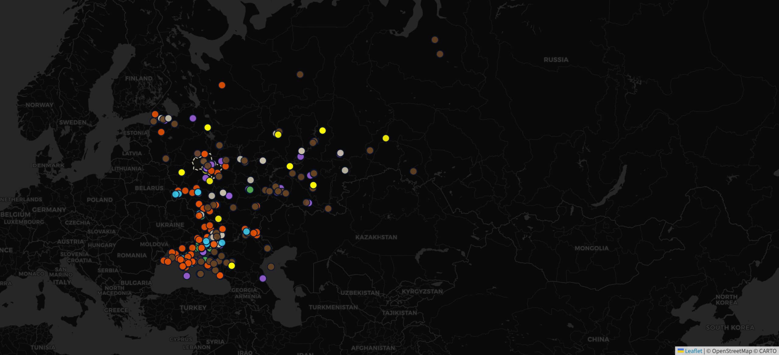
A dedicated tracking map of deep strikes across Russian territory is now available to Militarnyi’s audience at map.militarnyi.com.
The tool visualizes data on Ukrainian deep strike operations based on customizable parameters.
Users can filter the data by date, region, target profile, strike weapon / system, and battle damage assessment (BDA).
For the base map, you can use ESRI satellite imagery, a topographic map, or a dark/light OpenStreetMap theme. In the right corner, there is a minimap that allows you to view a different scale and layers alongside the main map.
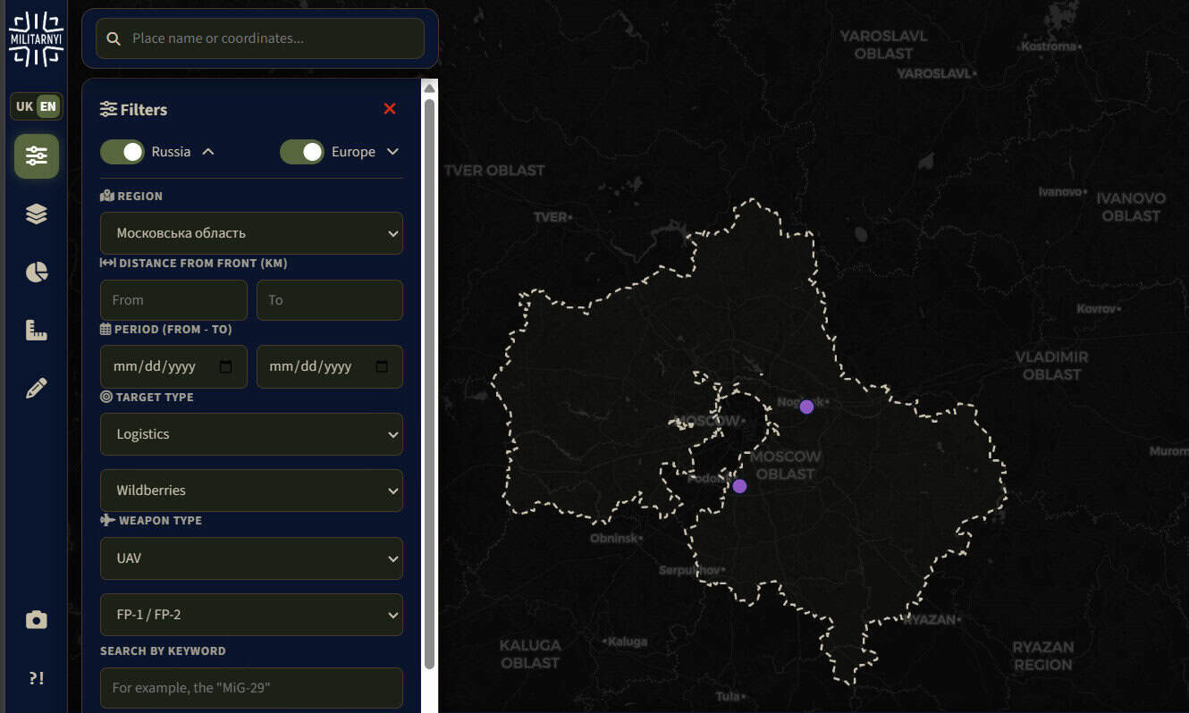
To facilitate advanced analysis of the dataset, users can export data as a CSV table. For integration with Google Earth or the DELTA situational awareness system, the platform can generate KML files.
Each strike event’s interactive briefing pane features an incident summary and a direct link to the corresponding report.

The project launches fully populated with 2026 strike data, with historical records from prior years being integrated systematically. Newly confirmed strikes are plotted immediately following the release of the corresponding report by Militarnyi.
This marks the debut cartographic project by Militarnyi’s GEOINT team. In upcoming iterations, the map will expand to document incidents attributed to hostile Russian actions and asymmetric attacks against Western nations.
Militarnyi’s community is invited to contribute to the platform’s development, notably by submitting thoroughly vetted candidate target packages for deep strikes. High-value proposals will be forwarded to Ukrainian Defense Forces personnel for intelligence analysis and consideration for nomination to planned target lists.
Підтримати нас можна через:
Приват: 5169 3351 0164 7408 PayPal - [email protected] Стати нашим патроном за лінком ⬇
Subscribe to our newsletter
or on ours Telegram
Thank you!!
You are subscribed to our newsletter