

Popular

Satellite images have confirmed the strike on the Russian TRLK-10 Skala-M radar in temporarily occupied Crimea.
The Dnipro OSINT Telegram channel published the photos showing the damaged radar.
The attack on the radar complex took place during the night of August 9–10, 2025, in the settlement of Abrykosivka. The operation was carried out by Rukh Oporu Resistance Units of the Special Operations Forces of Ukraine.
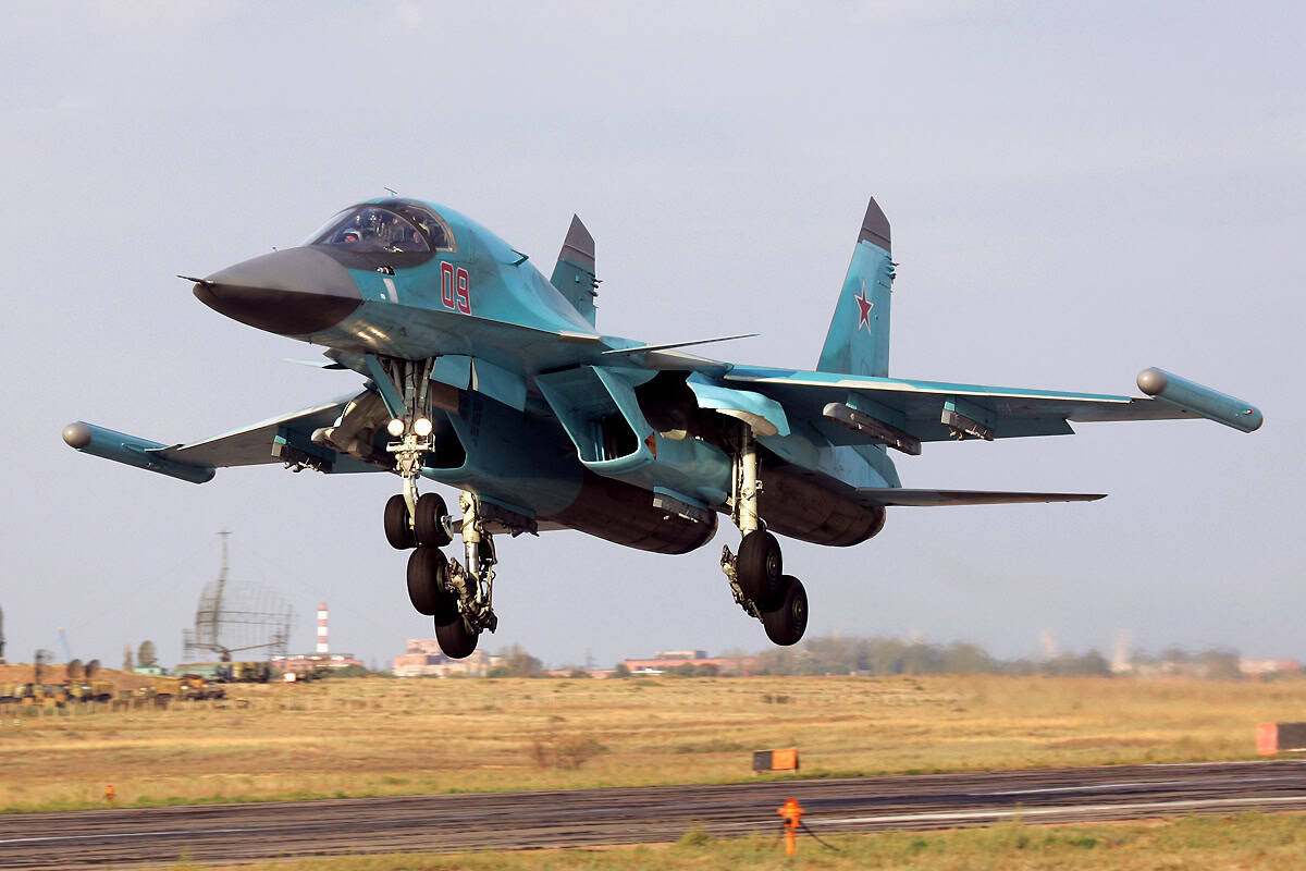
TRLK-10 Skala-M is a Soviet-Russian stationary route radar equipped with both primary and secondary capabilities for detecting aerial targets.

It is designed for air traffic control, particularly along air routes and in approach zones, and serves as a key component of the air traffic management system. Its operational range is up to 350 km.
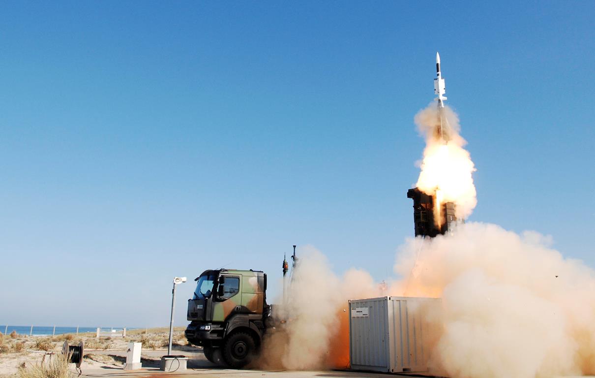
Recently, Ukrainian Defense Forces’ strike drones also targeted a radar used for monitoring space objects near Feodosia. The target was Periskop-VM, which has a detection range of up to 300 km.
This complex is part of Russia’s air defense system and is used to monitor airspace, transmitting data to surface-to-air missile system command centers.
Підтримати нас можна через:
Приват: 5169 3351 0164 7408 PayPal - [email protected] Стати нашим патроном за лінком ⬇
Subscribe to our newsletter
or on ours Telegram
Thank you!!
You are subscribed to our newsletter