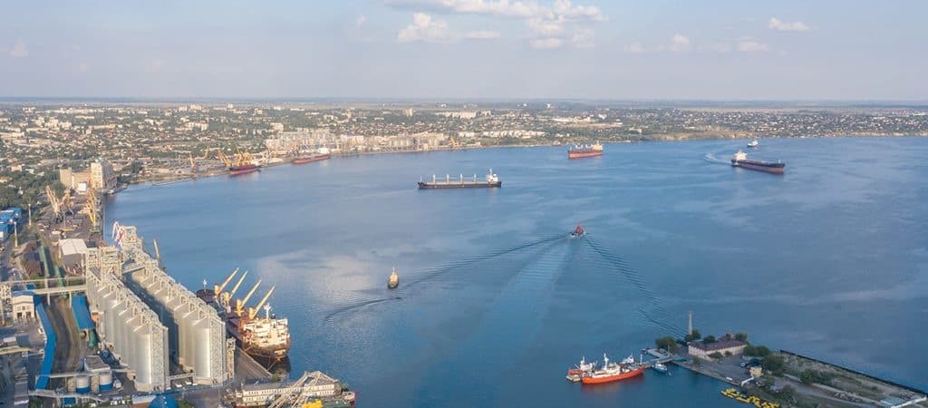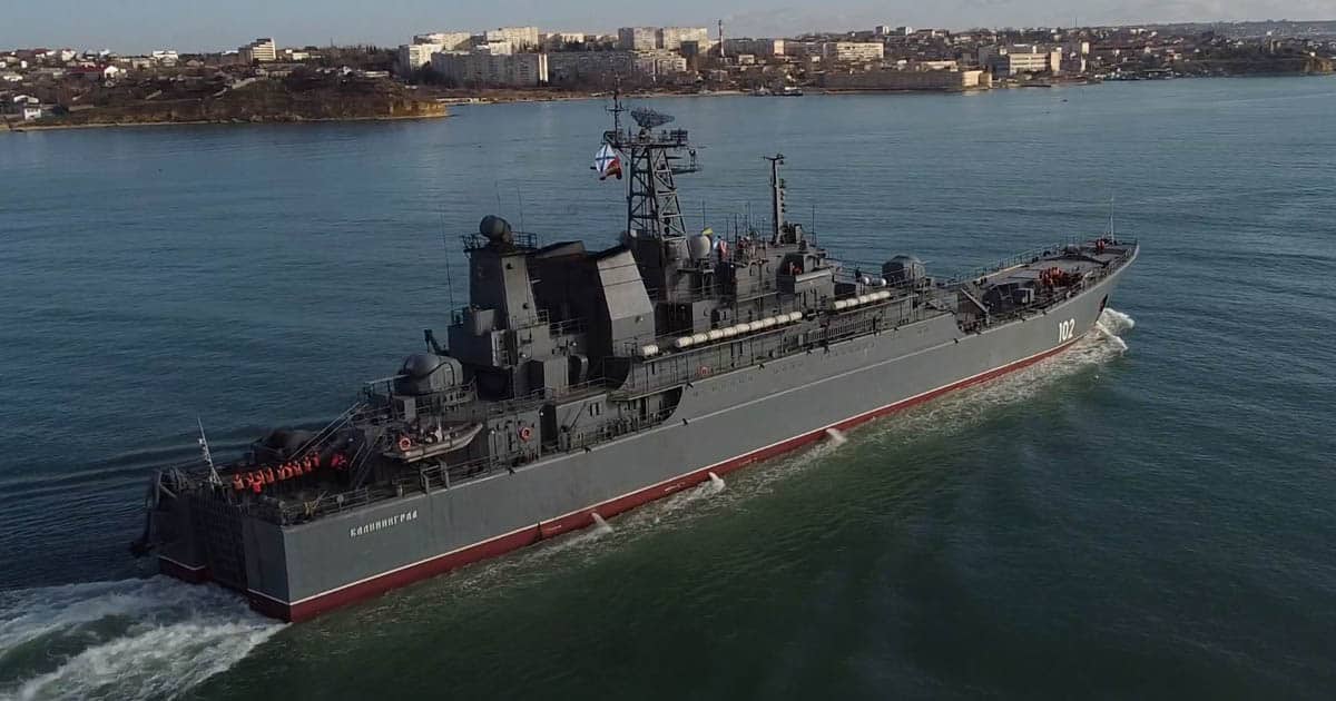
The State Hydrography SI has been identified a new route for merchant ships to Ukrainian ports in the conditions of Russian military exercises in the Black Sea.
Militarnyi informs.
The State Institution reported that that in pursuance of the order of the Ministry of Infrastructure of Ukraine, State Hydrography SI carried out unscheduled survey works in the Dniester Bank to find safe passage for ships in connection with the Russian blockade of recommended sea routes to Odessa Gulf trading ports.
As of 14.02.2022, 100% of hydrographic works (450 kilometers of linear survey) has been completed.
“The obtained materials of hydrographic works carried out in the Dniester Bank area, confirmed the nature and structure of the seabed relief in this area, as shown in the National Maritime Navigation Charts № 3201 and № 3407. According to the results, the depth is confirmed at the level of 15-22.5 meters.,” the statement said.

To update the state of the depths on the navigational charts, a proofreading file will be published in the Notices to mariners, and operational information will be announced in the coastal warnings of Ukraine.
In order to raise the awareness of seafarers, the navigational charts will be inserted with detailed information on the state of the depths in the sea corridor. This will help the captains to navigate the route of the vessel taking into account draft and shunting characteristics.
“Vessels sailing to the ports of Odessa Bay are recommended to adhere to the 20-meter depth isobath, which is shown on the navigational charts, and to pass in the Dniester Bank between the western border of the Russian exercise area (PRIP Ukraine 41/22) and the southeastern edge of the Dniester Bank,” the State Institution reported.
All current coastal warnings are published on the official website of the State Institution State Hydrography.
Earlier reports said that the Russian Federation is blocking shipping in the Black and Azov Seas and the Kerch Strait under the guise of exercises. At announced maritime warnings for firing and maritime exercises, the aggressor country blocks sea routes to the ports of Ukraine.

In the Black Sea, one of the areas is from Cape Tarkhankut in the occupied Crimean peninsula and up to the 12 mile zone near Odessa region. International routes of communication with Ukrainian sea ports are also blocked here.

Later, Russia canceled the previously planned blocking of part of the Azov Sea.
Підтримати нас можна через:
Приват: 5169 3351 0164 7408 PayPal - [email protected] Стати нашим патроном за лінком ⬇
Subscribe to our newsletter
or on ours Telegram
Thank you!!
You are subscribed to our newsletter