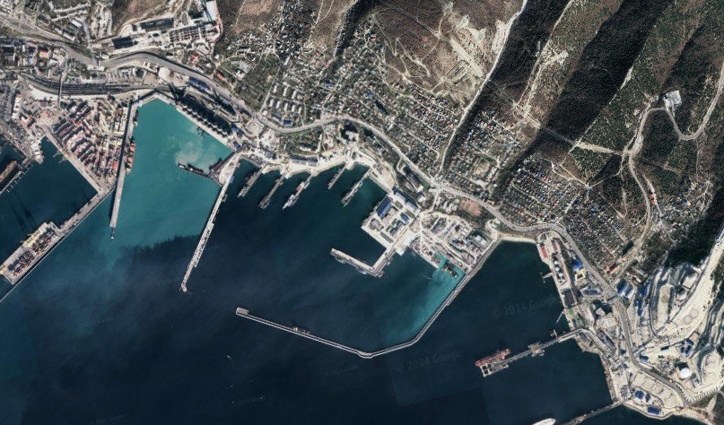
Russians deployed a GPS jamming system near the port of Gelendzhik in Novorossiysk.
OSINT analyst H I Suttonl reported on this.
The analysis used information from an Automatic Identification System (AIS), which is used in civilian shipping.
For example, when analyzing the AIS system, it was noticed that the location of Russian ships differed from their actual location.

According to the analyst, the interference is concentrated in the area of the Russian marker buoy No. 133, which is why the location of ships using the global positioning system shows a false location.
The GPS jamming system is aimed at countering the intelligence activities of Ukrainian special services, which makes it impossible to identify the exact location of ships in the port by spoofing.
The misplacement of Russian ships in Novorossiysk was also noticed by the Crimean Wind monitoring group, which drew attention to the ships’ location on land.
Simultaneously with Novorossiysk, the deployment of a similar GPS jamming system was also noticed in July on the Crimean peninsula, near Sevastopol.

An Automatic Identification System (AIS) is a set of equipment used to track and exchange information about ship traffic.
AIS transmits data on the location, course, speed and other characteristics of ships in real time. The main goal of AIS development was to improve maritime safety, prevent collisions and assist in shipping management.
By interfering with the GPS signal, which is one of the most important systems for locating ships, the Russians are creating a danger to civilian navigation in these areas.
As previously reported, in June, Russian dock landing ships with a powerful escort left the port of Novorossiysk, where they had previously been hiding from Ukrainian attacks for an extended period.
The vessels in question are:
Підтримати нас можна через:
Приват: 5169 3351 0164 7408 PayPal - [email protected] Стати нашим патроном за лінком ⬇
Subscribe to our newsletter
or on ours Telegram
Thank you!!
You are subscribed to our newsletter