


Popular

Maxar Intelligence, the leading provider of secure, precise geospatial insights, today launched Raptor, a powerful software suite that enables autonomous drones to navigate and extract accurate ground coordinates in the absence of GPS.
This was reported on the company’s website.
This technology transforms the resilience and reliability of unmanned systems, enabling autonomy at scale across warfighting, humanitarian and commercial operations for customers across the world.
The software is designed for lightweight integration with any autonomous platform.

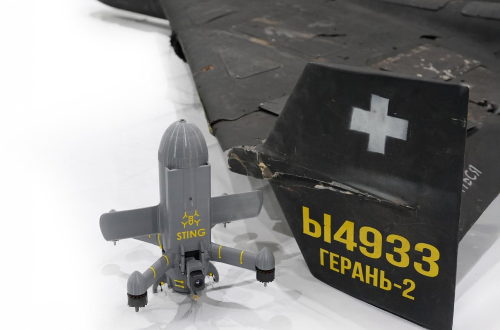
Raptor products use only a drone’s native camera and Maxar’s 90 million-plus sq km of global 3D terrain data.
The system is designed to help the platform navigate with extreme precision and extract accurate ground coordinates in real-time without GPS.

It is designed to assist in drone operations in the absence of GPS satellite navigation signals.
The Raptor suite of software solutions includes:

The company notes that this technology strengthens the resilience and reliability of unmanned systems, providing autonomy in wartime conditions as well as for humanitarian and commercial tasks.
Peter Wilczynski, Chief Product Officer at Maxar Intelligence, stated that Raptor would “change the game” in both the defense and commercial sectors.
It is noted that three-dimensional terrain data was regularly updated, and Maxar could task its satellites to update information for specific regions of interest to its clients.
Maxar Intelligence is a division of the American aerospace company Maxar Technologies, which on March 12th restored the accounts of Ukrainian users for the Global Enhanced GEOINT Delivery program, providing access to commercial satellite imagery that was designated and collected by the U.S. government.
Підтримати нас можна через:
Приват: 5169 3351 0164 7408 PayPal - [email protected] Стати нашим патроном за лінком ⬇
Subscribe to our newsletter
or on ours Telegram
Thank you!!
You are subscribed to our newsletter