


Popular
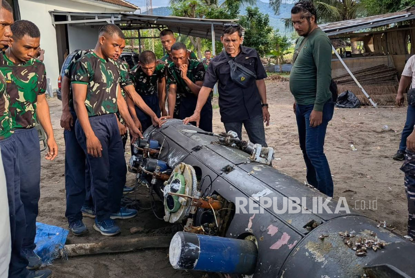
An Indonesian fisherman has recovered a Chinese reconnaissance underwater drone developed by CSIC (China Shipbuilding Industry Corporation).
According to the Republika media outlet, the device was immediately handed over to the military and taken to the Mataram base for examination. Investigators discovered that the drone contained no explosives and was equipped solely with surveillance equipment.
The device’s design includes various cables, sensors, and a hatch at the top that houses equipment for oceanographic and hydroacoustic research.
The drone was recovered in the Lombok Strait. As one of the deepest and most navigable passages among the Lesser Sunda Islands, the Lombok Strait is a key maritime route between the Pacific and Indian Oceans in the region, suitable for vessels of all classes.
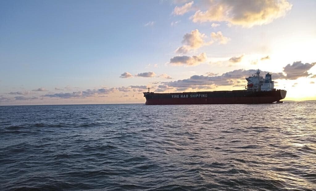
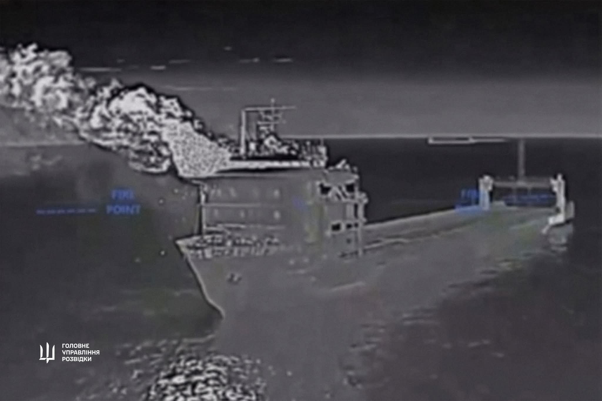
The strait is used by the largest-tonnage vessels, including supertankers, ore carriers, and coal carriers.
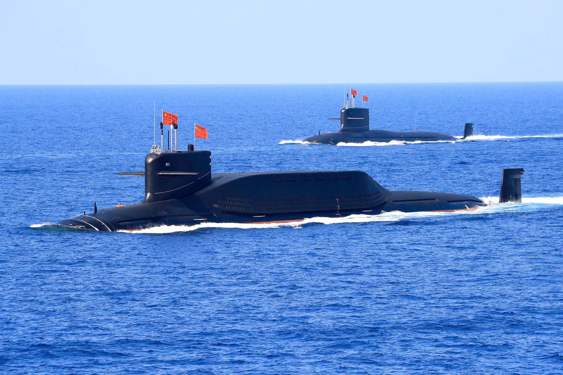
The Chinese drone was likely operating in the area to map the seabed and monitor shipping traffic, with the collected data intended for potential military use.
Previously, China launched a large-scale operation to map the seabed and monitor ocean conditions in strategically important regions worldwide.
Chinese research vessels have been spotted near Guam, Hawaii, Taiwan, as well as at key points in the Indian and Arctic Oceans. In particular, the vessel Dong Fang Hong 3 operated regularly in areas near major United States military bases throughout 2024–2025.
Officially, Beijing states that such expeditions are civilian in nature, including activities such as mineral exploration, fishing, and climate research. However, naval experts emphasize that data on seabed topography and water salinity are highly valuable for submarine navigation.
The research also involves deploying hundreds of deep-sea sensors capable of identifying underwater objects. In particular, in October 2024, a Chinese vessel tested a sensor network near Japan, as confirmed by reports from the Ocean University of China.
Seabed mapping allows submarine forces to maneuver more effectively, avoid collisions, and reduce detectability. Understanding how sound waves propagate under specific conditions also helps in detecting enemy submarines.
Chinese researchers openly state their intention to transform scientific achievements into new maritime combat capabilities. This includes, in particular, optimizing sonar systems and developing means for continuous monitoring of foreign naval fleets’ movements.
Підтримати нас можна через:
Приват: 5169 3351 0164 7408 PayPal - [email protected] Стати нашим патроном за лінком ⬇
Subscribe to our newsletter
or on ours Telegram
Thank you!!
You are subscribed to our newsletter