


Popular
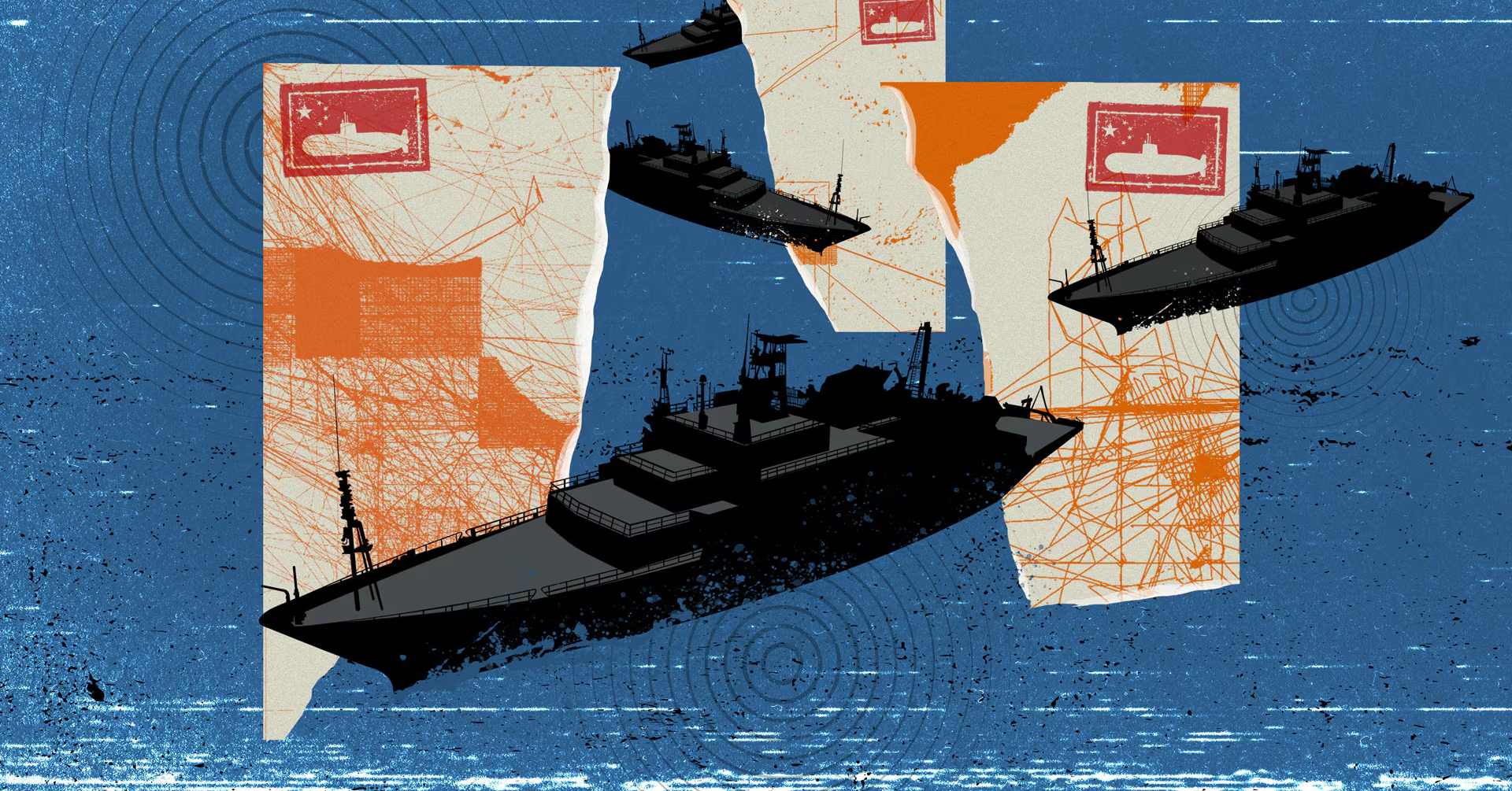
China has launched a large-scale operation to map the seabed and monitor ocean conditions in strategically important regions worldwide.
This is according to a Reuters investigation based on analysis of satellite data, scientific publications and official reports from Chinese universities.
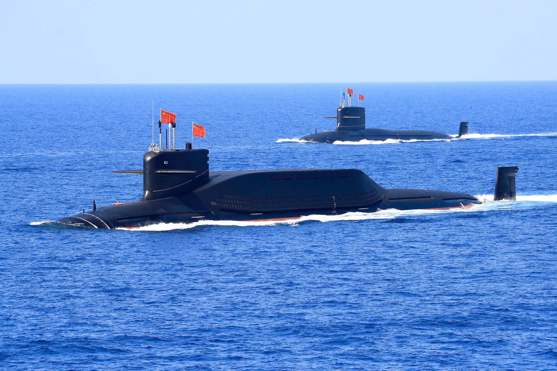
Dozens of research vessels are collecting data that Beijing could use in submarine warfare against the United States and its allies.
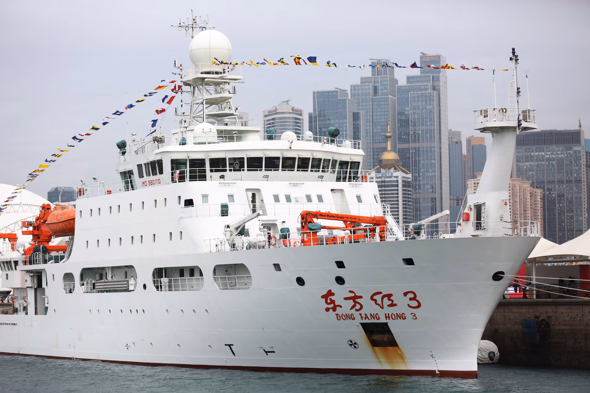
Chinese ships have been observed near Guam, Hawaii and Taiwan, as well as at key points in the Indian and Arctic oceans. The research vessel Dong Fang Hong 3 regularly operated in areas near major U.S. military bases in 2024 and 2025.
Officially, Beijing says the expeditions serve civilian purposes, including mineral exploration, fisheries and climate research. However, naval experts say data on seabed topography and water salinity are critical for submarine navigation.
The research includes the deployment of hundreds of deep-sea sensors capable of detecting underwater objects. In October 2024, a Chinese vessel tested a sensor network near Japan, according to reports from the Ocean University of China.
Seabed mapping allows submarines to maneuver more effectively, avoid collisions and better evade detection. Understanding how sound propagates in specific underwater environments also improves the ability to detect adversary submarines.
China is focusing in particular on the “First Island Chain,” which separates its coastline from the open Pacific Ocean. Beijing is seeking to study the area in detail to ensure access to deeper waters in the event of a conflict.
In the Indian Ocean, Chinese vessels have surveyed the Ninety East Ridge, an area near approaches to the Strait of Malacca, a key route for energy supplies to China.
The U.S. Office of Naval Intelligence has expressed concern about China’s expanding presence in global waters.
U.S. officials say the collection of intelligence under the guise of scientific research could undermine the country’s strategic advantage.
Chinese researchers have openly stated their intention to translate scientific advances into new naval capabilities, including improved sonar performance and systems for continuous monitoring of foreign naval movements.
Підтримати нас можна через:
Приват: 5169 3351 0164 7408 PayPal - [email protected] Стати нашим патроном за лінком ⬇
Subscribe to our newsletter
or on ours Telegram
Thank you!!
You are subscribed to our newsletter