


Popular
Long-range strike UAVs are guided to the target by a satellite navigation system. There are target coordinates and UAV coordinates. The drone builds a route to the target. If there is no data from the satellite system, the target will not be hit because the drone simply does not understand where it is and where it should go. Therefore, both we and the enemy suppress satellite navigation in country.
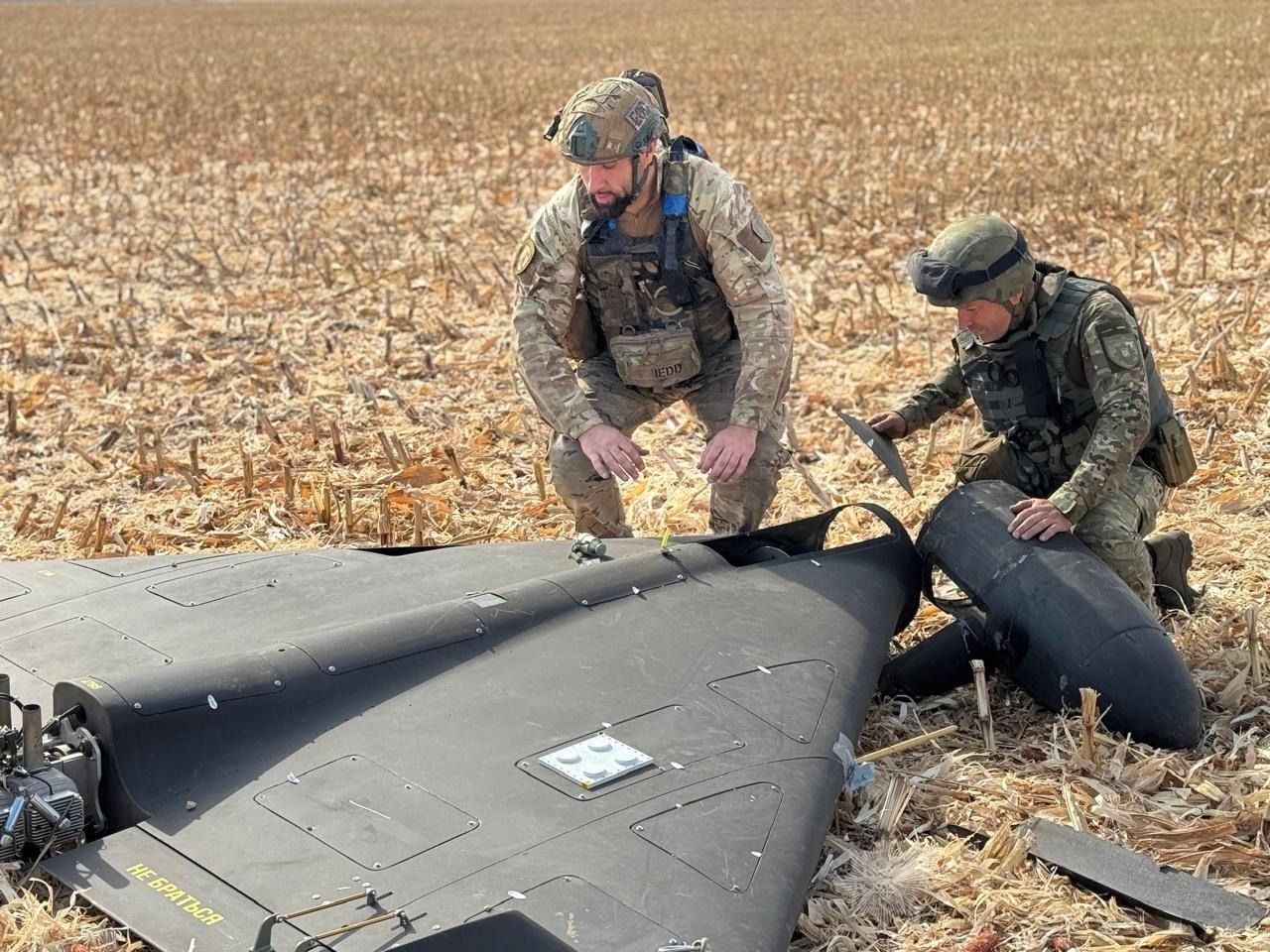
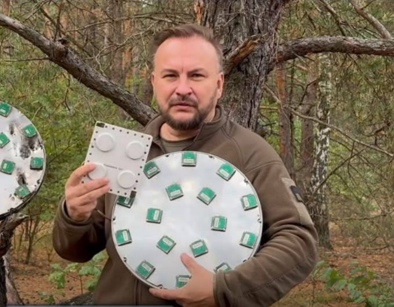
But since there is a suppression of satellite signals, there are countermeasures. To combat jamming, special “CRPA antennas” are installed on attack drones. These antennas are able to distinguish the satellite signal from interference generated by electronic warfare systems and cut it out. The more elements in the antenna, the more sources of interference it can overcome. At the beginning of the war, the Shaheds had four, then eight, then twelve, and now sixteen.
To enhance EW countermeasures, the antennas can operate on different satellite bands and handle different satellite constellations.
In addition, absolutely all UAVs are “smart” and have inertial navigation systems. When the signals from the satellites disappear, the drone continues to fly, keeping the last altitude received from the satellite and the last flight direction: the altitude is kept by the barometer, and the direction by the compass.
In other words, the Shahed flies and waits for the signal from the satellites to reappear for a moment. When the signal appeared, the drone recalculated its course.
This has been a topic of discussion in the military for years. What is the best and most correct way to suppress navigation systems on UAVs. And of course, our experience in these matters is a very confidential topic, because the enemy has the same problems with our drones.
But we should not build illusions. Russia has more scientists, research institutes and enterprises working on the topic of satellite navigation and countering it.
There are two options for suppression:
You can always find these characteristics in the description of CRPA antennas. How much the antenna resists interference. For example, suppression of several interference by 50 dB or only one by 80 dB.
It would seem that this method is good, but there is a drawback. What to do when “shakedowns” are coming from all directions, many of them at once, and how to suppress them from all sides?
The first method is more strategic and long-term. It is suitable for protecting large areas of the country. The second method is faster and is suitable for protecting critical infrastructure. As a matter of principle, I will not name the electronic warfare equipment that belongs to the first and second options so as not to advertise or lobby any manufacturers.
And the most important thing I want to say. Sooner or later, the enemy will cover its entire territory with electronic warfare systems under options 1 and 2 (some areas have already been closed tightly). And it will become impossible to fly dipsticks using satellite navigation.
Therefore, it is time to develop and implement navigation based on other principles.
Підтримати нас можна через:
Приват: 5169 3351 0164 7408 PayPal - [email protected] Стати нашим патроном за лінком ⬇
Subscribe to our newsletter
or on ours Telegram
Thank you!!
You are subscribed to our newsletter